
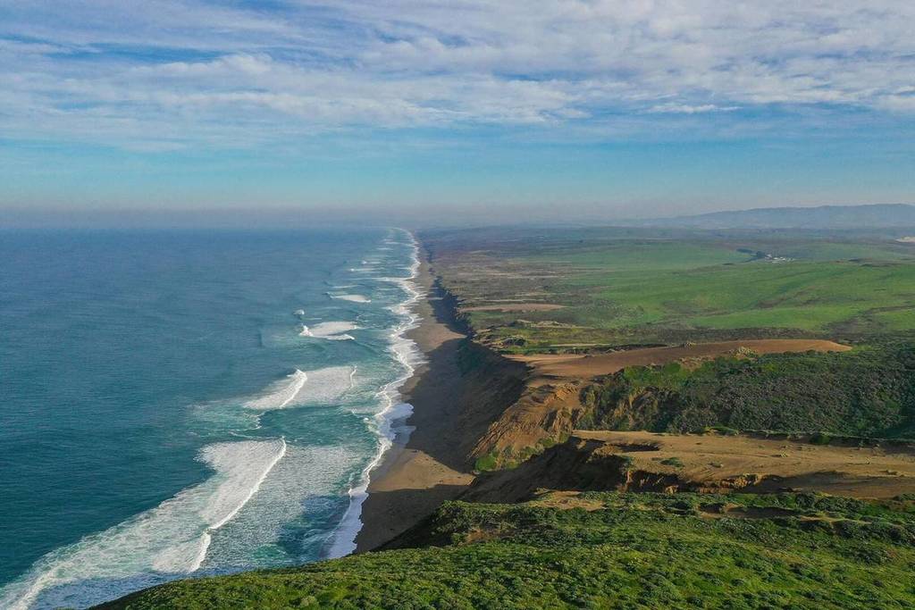

The California Coastal Trail (CCT) is a long-running public initiative first proposed in 1975, with the goal of building a continuous network of trails spanning the entire California coastline, from the Mexican border up to Oregon.
Over the past five decades, multiple state and local agencies have worked to bring the 1,230-mile trail closer to reality. Today, roughly 70% of the route is complete.
But even in its unfinished state, large portions of the CCT are already accessible and offer a unique way to experience California’s coastline.
About the CCT project
The vision for a continuous coastal trail first appeared in the 1975 California Coastal Plan, but it didn’t see much progress until 1999, when Governor Gray Davis officially designated it as the state’s “Millennium Legacy Trail.”
Since then, the California Coastal Trail Association has partnered with state organizations for decades to ensure public access along the full coastline.
Rather than a single uninterrupted path, the CCT is best understood as a connected system of routes, serving everyone from cyclists to long-distance hikers.
The terrain shifts dramatically, from blufftop walks overlooking beaches like Pfeiffer Beach and Pismo State Beach, to more demanding trails near Big Sur, to historic corridors near sites like the Presidio and wartime lookout points scattered along the coast.
Highlights include Point Reyes, the Presidio, Devil’s Slide, Piedras Blancas, Mendocino, and coastal areas dotted with old military defenses and early settlement sites tied to California’s Gold Rush history.
While about 70% of the trail is in place, there is still no firm completion date. Ongoing challenges include funding limitations and negotiations over access through private land.
Read our guide to the CCT to learn more about how to hike it in its incomplete state.