
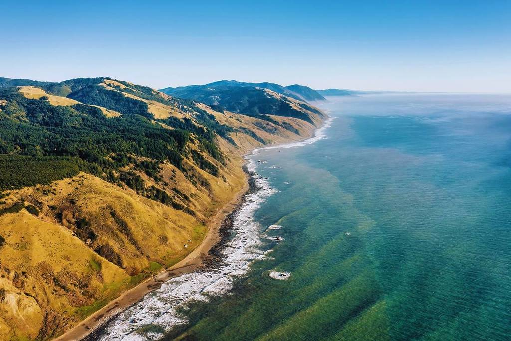

California’s Lost Coast spans roughly 75 miles of untamed shoreline between Rockport and Ferndale in Northern California. Its dramatic terrain has kept the region largely free of major development, highways, and paved roads; even State Route 1 turns inland rather than crossing this formidable stretch of coast.
That isolation makes the area challenging to visit, but it is a bucket-list destination for backpackers and hikers. Many tackle the 25-mile Lost Coast Trail to experience one of the state’s wildest and least developed landscapes.
Here’s what to know about California’s famously remote coast.
History and geography of the Lost Coast
For centuries, the Sinkyone, Mattole, and Wiyot peoples lived throughout the Lost Coast region, relying on its forests, rivers, and ocean for hunting and fishing. European settlement and the California Gold Rush brought major changes to the area during the 1800s.
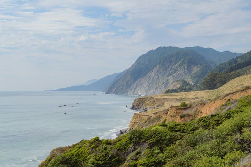
Nearby towns including Ferndale and Shelter Cove developed in the 19th and 20th centuries, but the Lost Coast itself resisted large-scale growth. Its steep mountains, unstable slopes, and recurring landslides made road-building especially difficult, ultimately causing highway planners to route around it rather than through it.
Later proposals for large resort developments also failed in the 1960s, due in part to emerging conservation priorities and the formation of the California Coastal Trail Commission. Today, much of this spectacular shoreline remains protected within the King Range National Conservation Area.
Hiking the Lost Coast Trail
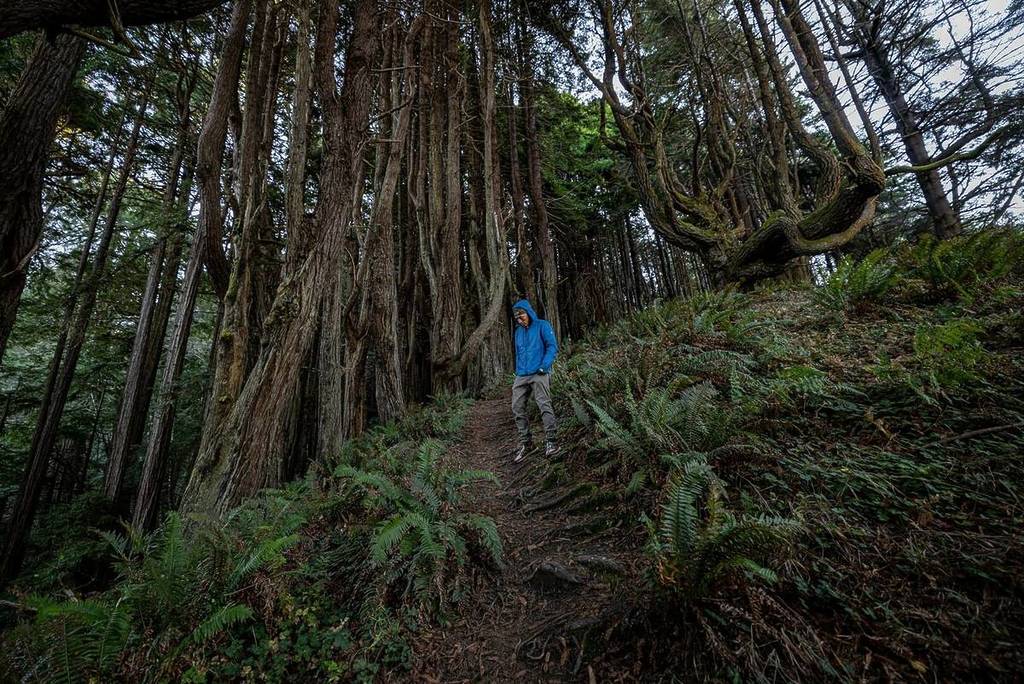
The 25-mile Lost Coast Trail runs from the Mattole River to Shelter Cove and offers the best-known route into this isolated coastal environment. Visitors travel from around the world for its dark-sand beaches, windswept coastal forests, “candelabra redwoods,” high prairie bluffs, and expansive Pacific views.
A permit is required, and most hikers take two to four days to complete the route. The trail follows the base of the King Range, where mountains rise as much as 4,000 feet directly above the ocean, and it passes the Punta Gorda Lighthouse, a long-abandoned 1912 beacon often called the “Alcatraz of Lighthouses.”
Wildlife sightings can include Roosevelt elk, harbor seals, and dense seabird colonies. Aside from that, hikers should expect a rare kind of solitude.
The trail is also part of the California Coastal Trail (CCT) network, a public trail system that extends about 1,230 miles between Oregon and Mexico and is approximately 70% complete.
🌐 Learn more: Bureau of Land Management